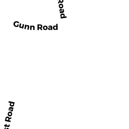
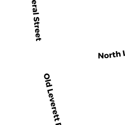
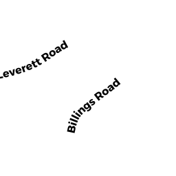
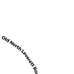
REAR NORTH LEVERETT RD
Owner Information
FREEMAN DONALD A
P O BOX 99 - 14 BILLINGS RD
MONTAGUE, MA 1351


Property Details
REAR NORTH LEVERETT RD is classified as a Undevelopable Residential Land.
REAR NORTH LEVERETT RD is valued at $13,100. The land is valued at $13,100 and the structures are valued at $0.
The most recent deed for REAR NORTH LEVERETT RD is recorded at the local registrar in Book 7465, Page 312. REAR NORTH LEVERETT RD was last sold on Monday, December 9, 2019 for $1.
Assessment data from fiscal year 2020.
Flood Data
According to the FEMA National Flood Hazard Layer, this property does not appear to be in a flood zone. It may also be in an area not yet reviewed. Nonetheless, confirm this information prior to taking any action.
To view the flood hazards around this property, create a FEMA "Firmette" Map of the area around REAR NORTH LEVERETT RD.
Broadband Internet Providers
| Provider | Type | Bandwidth (mbps) | |
|---|---|---|---|
| VSAT Systems, LLC. | Satellite | 2 | 1 |
| HughesNet | Satellite | 25 | 3 |
| Comcast | Cable | 1000 | 35 |
| Viasat Inc | Satellite | 100 | 3 |
| GCI Communication Corp. | Satellite | 0 | 0 |
Broadband service provider data from December 2020.
Adjacent Properties
- W CHESTNUT HILL RD
Dept. of Fish and Game (DFG) -- formerly Division of Fisheries and Wildlife, Environmental Law Enforcement (DFWELE) owned by MASSACHUSETTS COMMONWEALTH OF - MEADOW RD
Dept. of Fish and Game (DFG) -- formerly Division of Fisheries and Wildlife, Environmental Law Enforcement (DFWELE) owned by MASSACHUSETTS COMMONWEALTH OF - 35 A+B NORTH LEVERETT RD
Two-Family Residential owned by NORWOOD THOMAS S JR - 12 BILLINGS RD
Single Family Residential owned by SHORT ESTHER Y - 14 BILLINGS RD
Single Family Residential owned by FREEMAN DONALD A - REAR NORTH LEVERETT RD
Undevelopable Residential Land owned by NEW ENGLAND CENTRAL RAILWAY